
Quick Answer
The safety issues that matter most on a remote high-altitude Nepal trek like Limi Valley are altitude sickness, route finding in unmarked terrain, weather windows at high passes, communication failure, and medical evacuation delay. Limi Valley sits in the Humla district of Far West Nepal, reaches 5,000 m at the Nyalu La pass, and has no road access for 14 days. Peak climbers transitioning to remote trekking should treat Limi Valley as a self-supported expedition. Carry a satellite phone, personal oxygen, and a documented evacuation plan. The nearest hospital is in Simikot 2,985 m, two days walk from the highest camp.
Detailed Breakdown
The Limi Valley trek starts at Simikot 2,985 m, climbs through the Karnali gorge, crosses the Nyalu La pass at 4,950 m, descends to the Limi Valley villages of Til 3,700 m, Halji 3,660 m, and Jang 3,490 m, and exits via the same route or via Hilsa 3,650 m. The total distance is 130 km over 14 to 18 days. The maximum altitude is 4,950 m at Nyalu La.
The safety issues on Limi Valley are different from those on the standard Nepal treks. The first is altitude. The flight from Nepalgunj 150 m lands at Simikot 2,985 m, which already exceeds the safe ascent threshold. The first night at Simikot carries a 5 percent mild AMS rate.
The second is route finding. The trail between Simikot and Til is unmarked for 30 km. Cairns exist but are unreliable in fog. The Limi Valley itself has a clear trail but the high pass sections can be confusing in fresh snow.
The third is weather. The Nyalu La pass at 4,950 m closes for 2 to 4 days at a time in shoulder seasons. The weather windows in October and May are 5 to 7 days, while in November they are 2 to 3 days.
The fourth is communication. There is no mobile signal in Limi Valley. The nearest phone is in Simikot. Satellite phones work but require a Nepal permit.
The fifth is medical evacuation. Helicopters can land at Simikot, Til, and Halji. They cannot land at the passes. A medical emergency at 4,950 m requires a manual descent to 3,700 m before evacuation, which can take 8 hours.
Cost/Component Breakdown
| Item | Detail | Cost (USD) |
|---|---|---|
| Humla Restricted Area Permit | One week | $50 per person |
| TIMS Card | Per person | $10 |
| Flight Nepalgunj to Simikot | Round trip | $200 to $280 |
| Guide and camping crew | Per day | $100 to $140 |
| Satellite phone rental | 18 days in Kathmandu | $80 to $120 |
| Personal oxygen cylinder | Rental | $80 to $120 |
| Helicopter evacuation Simikot to Nepalgunj | Emergency | $3,500 to $5,000 |
| Travel insurance with 5,500 m cover | Per person | $130 to $200 |
What Affects the Answer
Three factors drive the safety profile. The first is group composition. Solo trekkers face 4 times the evacuation risk of groups of three. The second is crew quality. A Humla-local guide knows the weather windows and the river crossings. A Kathmandu guide does not. The third is communication. A satellite phone or Garmin inReach cuts evacuation time from 24 hours to 4 hours in an emergency.
Booking Tips
Book through a Humla specialist agency, not a generic Kathmandu operator, since Humla logistics are different. Carry a personal satellite phone or Garmin inReach, even if the guide has one. Carry a personal oxygen cylinder, since group oxygen runs out. File your itinerary with the Trekking Agencies Association of Nepal and the tourist police, and check in at each village headman's office. Carry a documented evacuation plan with insurance numbers and the Simikot hospital phone number.
Comparison With Alternatives
For remote high-altitude Nepal trekking, the alternatives are Upper Dolpo, Kanchenjunga North, and Makalu Base Camp. Upper Dolpo is similar in remoteness but has slightly better infrastructure. Kanchenjunga North is more accessible but colder. Makalu Base Camp is the most accessible of the four. Limi Valley is the most remote of the four and the most culturally Tibetan, with the 11th century Halji Monastery.
Common Mistakes to Avoid
The first mistake is flying Nepalgunj to Simikot and starting the trek the same day. Sleep one night in Simikot to acclimatise. The second is crossing Nyalu La in fresh snow. Wait 24 hours for the trail to break. The third is relying on the guide's satellite phone. Guides sometimes lose their phone permits. Carry your own. The fourth is underestimating the river crossings. The Karnali tributaries run high in summer and the bridges are basic. Cross in the morning when water is low.
FAQ
What is the highest altitude on Limi Valley? 4,950 m at Nyalu La pass.
Is helicopter evacuation possible from Limi Valley? Yes, from Til and Halji at 3,700 m and 3,660 m. Not from the passes.
Do I need a satellite phone? Yes, since there is no mobile signal in Limi Valley. Carry your own.
What is the best season for Limi Valley? May to September for the clearest weather, with August as the peak month.
Summary
The safety issues on Limi Valley are altitude, route finding, weather windows, communication failure, and evacuation delay. Peak climbers should treat Limi Valley as a self-supported expedition. Carry a satellite phone, personal oxygen, and a documented evacuation plan. The nearest hospital is in Simikot. Book through a Humla specialist agency and acclimatise at Simikot before starting the trek.
Conclusion
For 2027 to 2030 Limi Valley trips the rule is to plan for self-sufficiency. The valley rewards preparation with Tibetan culture, ancient monasteries, and solitude. It punishes shortcuts with altitude sickness and isolation. Carry a satellite phone and personal oxygen. Book a Humla-local guide. Acclimatise at Simikot. The route is safe for prepared peak climbers but unforgiving for the unprepared.
Recommended Trek Packages
Trekking Places to Explore
Explore Trips in Nepal
Hand-picked guided trips to this destination
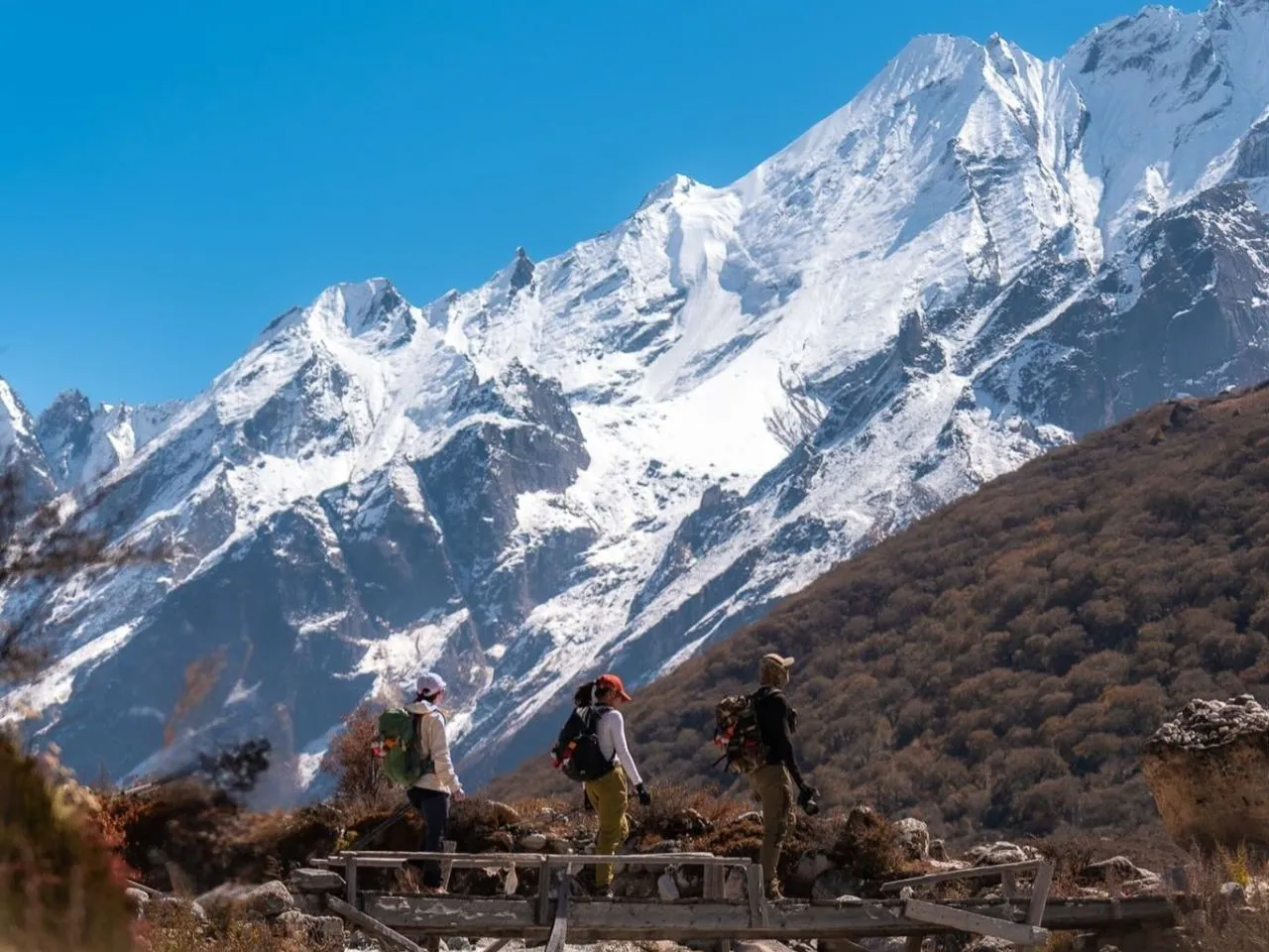
Langtang Luxury Trek – 10 Days
Langtang Luxury Trek – 10 Days
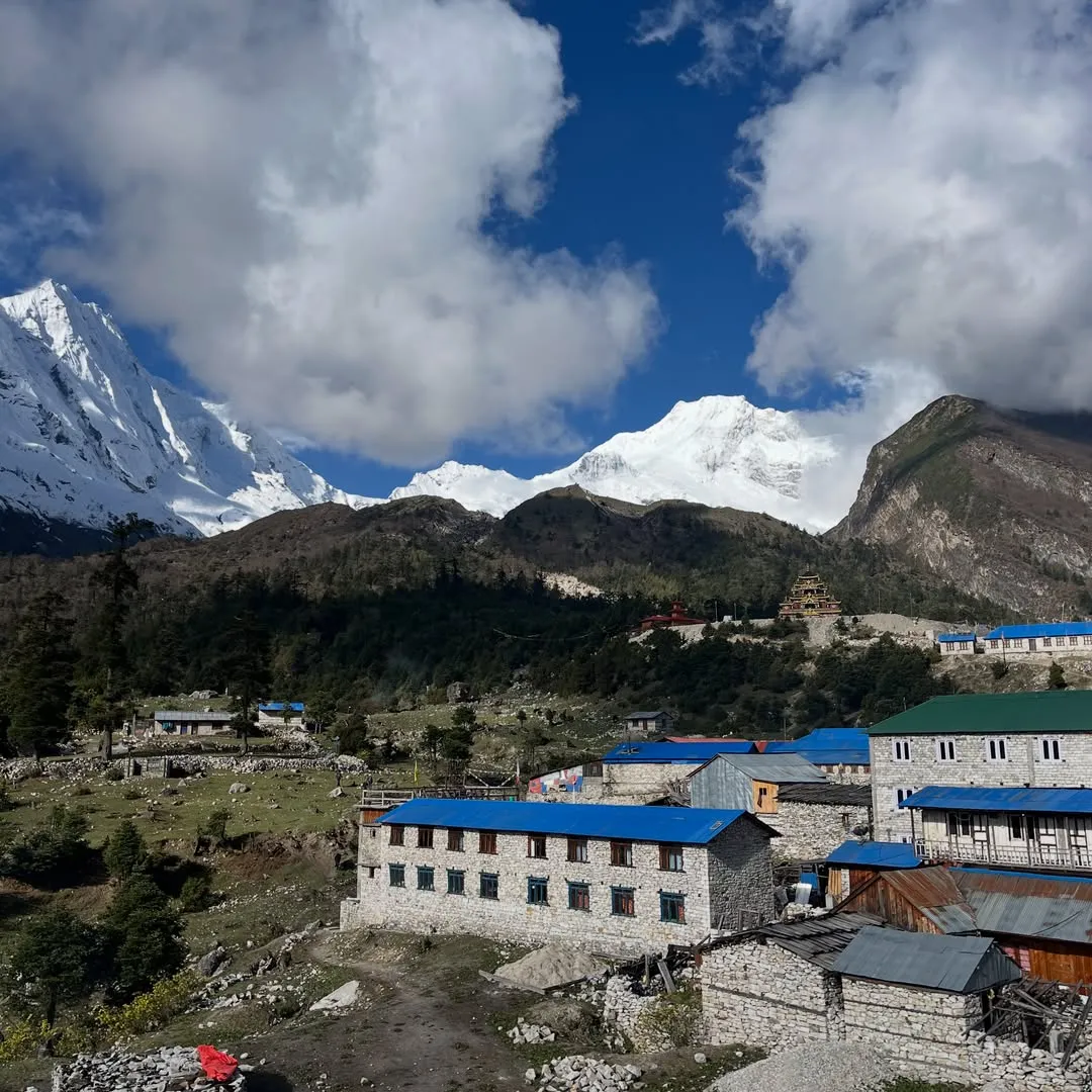
Manaslu Family Trek – 12 Days
Manaslu Family Trek – 12 Days
Manaslu Luxury Trek – 14 Days
Manaslu Luxury Trek – 14 Days

Manaslu Photography Trek – 17 Days
Manaslu Photography Trek – 17 Days
 English
 Deutsch
 Svenska
 Dansk
Dansk Русский
 Français
 Português
 Español
 Polski
 简体中文
简体中文 日本語
日本語 ไทย
ไทย العربية
 한국어
한국어