
respuesta rápida
Altitude sickness on the Simikot to Kailash route centers on three risk zones: the flight landing at Simikot 2,985 m, the Nara La pass at 4,580 m, and the rapid jump to Lake Manasarovar at 4,580 m on the Tibetan side. The biggest danger is not the trek itself but the altitude gain on the Tibetan side, where travelers reach 4,330 m at Manasarovar within 24 hours of leaving Simikot. Acetazolamide, a pre-acclimatisation night in Simikot, and a rest day at Manasarovar cut severe AMS risk by half.
Desglose detallado
The Simikot to Kailash route is a transit-and-pilgrimage corridor, not a standard trek. Travelers fly from Nepalgunj 150 m to Simikot 2,985 m, walk three to four days to Hilsa 3,650 m, cross into Tibet, and drive to Lake Manasarovar 4,580 m and Darchen 4,570 m. The Kailash kora climbs to 5,630 m at the Drolma La pass on day two.
The altitude profile is unforgiving for three reasons. First, the flight from Nepalgunj lands trekkers directly at 2,985 m, which already exceeds the 2,500 m threshold where acclimatisation matters. Second, the Hilsa crossing puts trekkers on a Tibetan plateau above 3,700 m for the entire journey. Third, the road transfer from Hilsa to Manasarovar gains 930 m in a single day with no walking break to ease the transition.
Adventure travelers under-rate the route because the walking days are short. The Simikot to Hilsa trek covers 60 km over six days, with Nara La 4,580 m. But the Tibetan side, with bus transport to Manasarovar, removes the natural acclimatisation that walking provides. Purang medical posts report severe AMS rates of 8 to 12 percent, roughly double the Annapurna Circuit rate.
Desglose de costo/componente
| suelto | When Used | Costo (USD) |
|---|---|---|
| Acetazolamide 125 mg twice daily | From Nepalgunj day to Kailang exit | $5 a $10 |
| Pre-acclimatisation night in Simikot | Before walking to Hilsa | $25 a $35 |
| Oxygen cylinder 3 L from Kathmandu | Carried to Manasarovar | $80 to $120 rental |
| oxímetro de pulso | Daily morning check | $25 to $40 purchase |
| Rest day at Manasarovar | Before Kailash kora start | $40 lodging and meals |
| Helicopter evacuation Simikot to Nepalgunj | Nepal side emergency | $2800 a $4500 |
| Travel insurance with 5,000 m cover | For entire trip | $120 a $200 |
que afecta la respuesta
Three variables drive altitude risk on this route. The first is direction of travel. West to east, Hilsa to Simikot, descends from 3,650 m to 2,985 m and is safer. East to west, the standard route, forces a sustained climb. The second is season. May and September are safest because weather windows are stable and the high passes remain open. June to August is monsoon, when the Simikot side becomes slippery and cloud traps heat. The third is age and prior altitude experience. Trekkers above 55 with no 4,000 m experience in the last 12 months are four times more likely to need evacuation.
Consejos de reserva
Book the Simikot flight through a Nepal operator that holds a backup seat on the next day's flight, since weather cancellations are common and the route has one daily flight. Carry a printed copy of your Chinese Tibet permit and passport photo page in a waterproof bag, since checks happen at Hilsa and Purang. Pre-book a rest night in Simikot before walking to Hilsa. Buy insurance that explicitly covers 5,000 m altitude and Tibet evacuations, since standard Nepalese helicopter policies do not cover the Chinese side.
Comparación con alternativas
The Simikot route is the slowest of the three standard approaches to Kailash. The Lhasa overland route starts at 3,650 m and offers 5 to 7 days of gradual ascent through Shigatse and Saga, with severe AMS rates of 4 to 6 percent. The Kyirong border route, opened in 2017, starts at 2,700 m and offers the gentlest profile, with severe AMS rates of 3 percent. The Simikot route carries the highest altitude risk because of the rapid jump from Nepalgunj to Manasarovar.
Errores comunes a evitar
The first mistake is flying Nepalgunj to Simikot and walking straight to Hilsa without a Simikot acclimatisation night. This pushes the first sleeping altitude above 3,000 m on day one and triples AMS risk. The second mistake is skipping the rest day at Lake Manasarovar. The lake at 4,580 m, and a rest day halves severe AMS risk on the Kailash kora. The third mistake is relying on group oxygen. A 3 L cylinder shared among 12 pilgrims runs out within two hours. Carry a personal cylinder. The fourth mistake is treating Diamox as preventive magic. It speeds acclimatisation but does not prevent HACE or HAPE. Only descent reverses those.
preguntasrán el
What is the highest altitude on the Simikot Kailash route? 5,630 m at the Drolma La pass on day two of the Kailash kora.
When should I start taking Diamox on this route? Begin 24 hours before the Nepalgunj to Simikot flight and continue until you descend below 3,000 m on the return.
Is helicopter evacuation possible from the Tibetan side? No. The Chinese side requires a ground ambulance to Purang and then a road transfer. Helicopters only work on the Nepal side, from Simikot.
What pulse oximeter reading warrants descent? Anything below 80 percent at rest, or any reading below 75 percent regardless of symptoms, requires immediate descent.
sumario
The main altitude risks on the Simikot Kailash route are the rapid jump from Nepalgunj to Simikot, the lack of acclimatisation on the Tibetan plateau, and the 5,630 m Drolma La pass. Acetazolamide, a rest night in Simikot, a rest day at Manasarovar, and personal oxygen cut severe AMS risk by half. Insurance that covers 5,000 m altitude and Tibet evacuations is mandatory.
idea de narración
For 2027 to 2030 Simikot Kailash trips the rule is to budget two extra days, one in Simikot and one at Manasarovar. The route is safe for adventure travelers with prior 4,000 m experience. Buy insurance that covers both Nepal and Tibet evacuations. Carry your own Diamox, oxygen, and pulse oximeter. Do not rely on group equipment.
Paquetes de Trek Recomendados
Lugares de trekking para explorar
Explore Trips in Nepal
Hand-picked guided trips to this destination
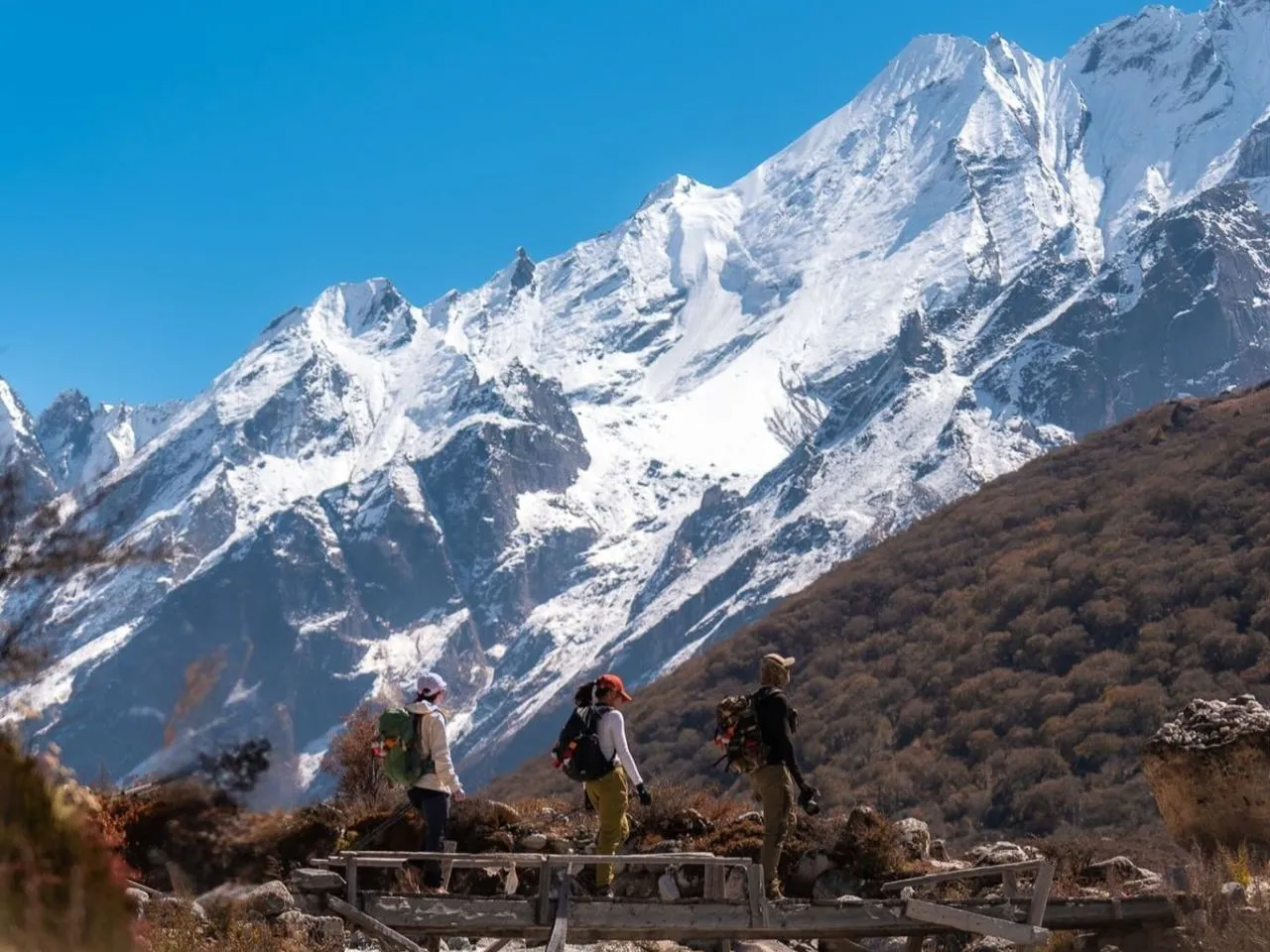
Trek de Lujo Langtang – 10 días
Trek de Lujo Langtang – 10 días
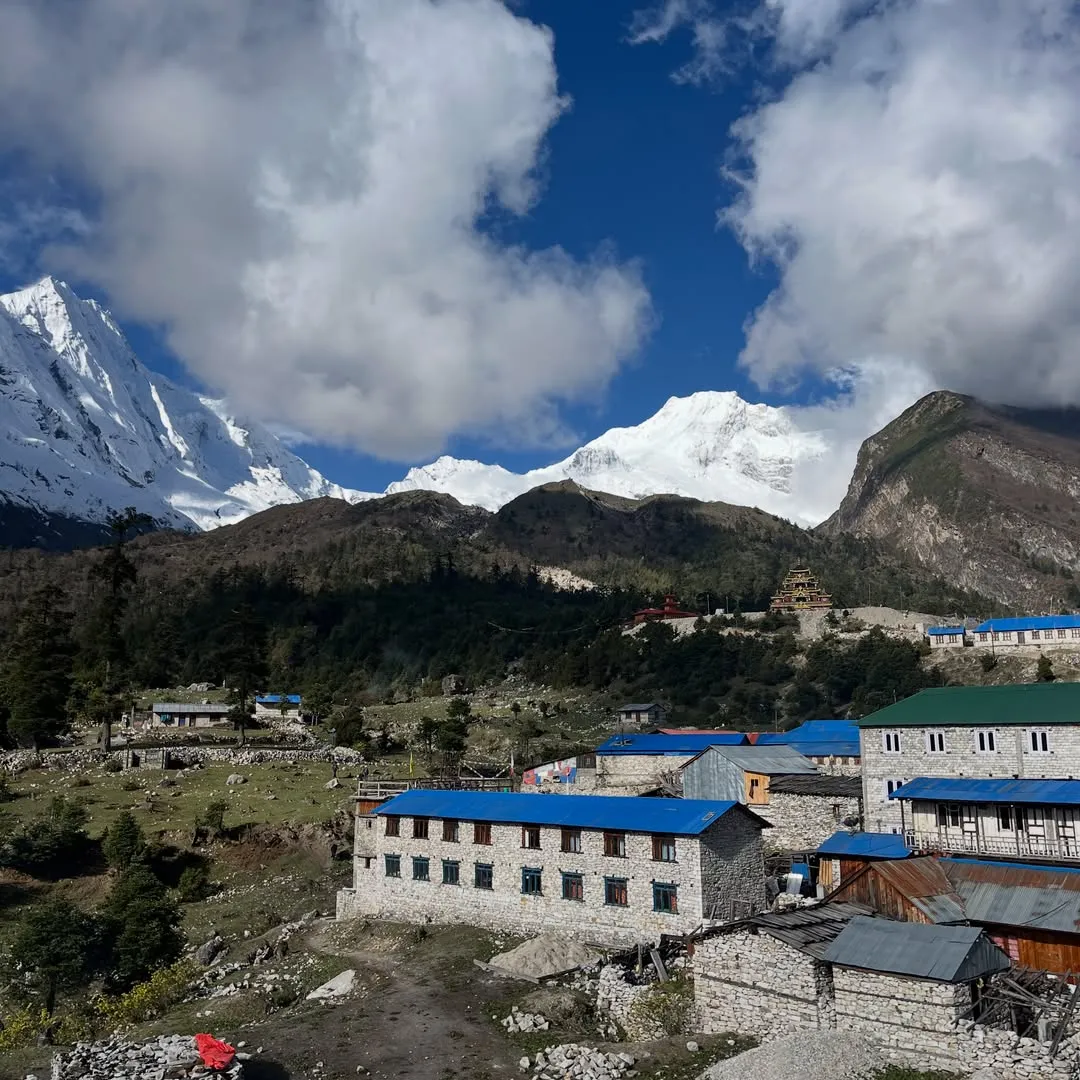
Trek Familiar Manaslu – 12 días
Trek Familiar Manaslu – 12 días
Trek de Lujo Manaslu – 14 días
Trek de Lujo Manaslu – 14 días

Trekking Manaslu - 17 días
Trekking Manaslu - 17 días
 English
 Deutsch
 Svenska
 Dansk
Dansk Русский
 Français
 Português
 Español
 Polski
 简体中文
简体中文 日本語
日本語 ไทย
ไทย العربية
 한국어
한국어